1844 Tithe map of Penzance central.
treeve

1844 Tithe map of Penzance central.

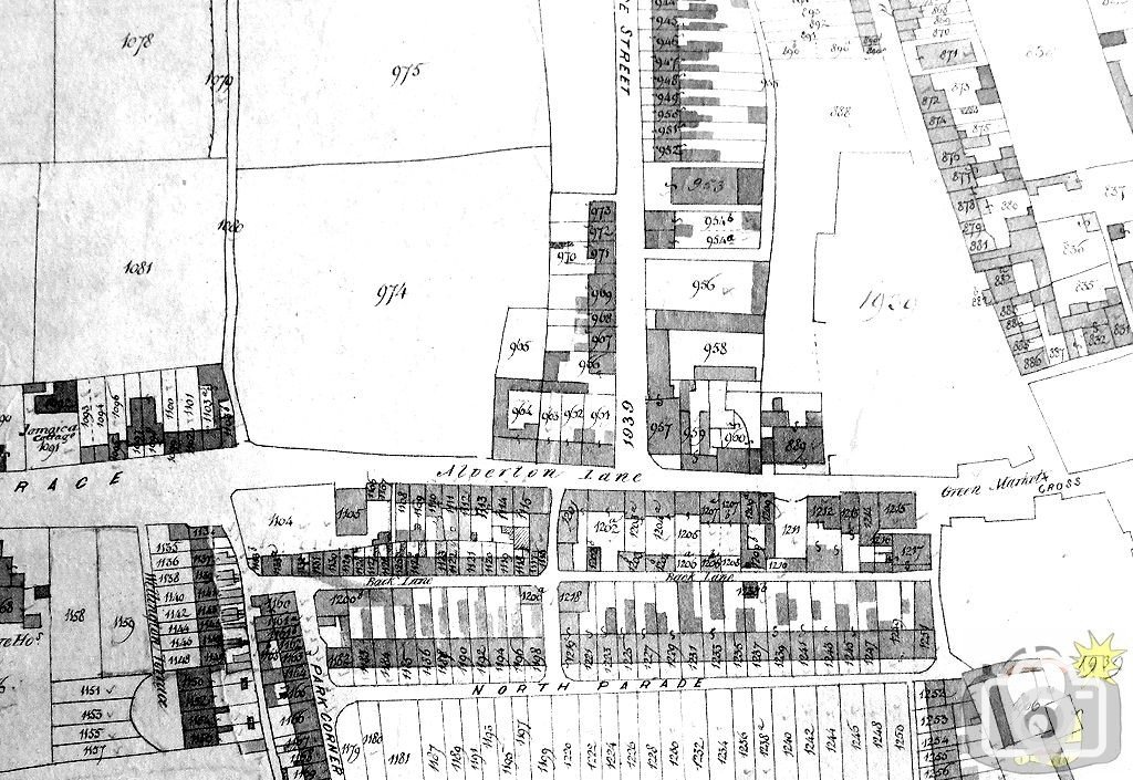
Note the position of the Market Cross.
Before Morrab Road and Stewart's Buildings.
Before Griddle and Smith (later Alfred Smiths).
Before the Public Buildings of 1867 ( which included St John's Hall, Geological Society Museum, Guildhall, St George's Hall, Penzance Library, Natural History Museum, Police Station and a Freemasons Lodge).
I should add that this is a Victorian copy, and therefore there are areas undefined - bottom of Causewayhead and the west of Market Place; for better detail in those areas see the 1842 Tithe Map on my website.
 
Great map. The top of what is now Morrab Road looks very narrow. Were buildings demolished to widen it, or is the map not entirely accurate?
 
As has been confirmed by Historians and Ordnance Survey, Tithe maps were remarkably accurate. Buildings were demolished to form the new road.
 

Media information

Album
Time past
Added by
treeve
Date added
View count
1,410
Comment count
4
Rating
0.00 star(s) 0 ratings

Share this media

Top Bottom