Heamoor 1908
treeve

Heamoor 1908

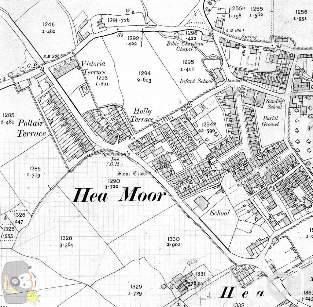
Eureka .. the 1908 OS map.
From the 1845, 1875, 1908 and 1936 maps can be seen the typical development of almost any area.
Fields and hedges are determinined by water courses, rocks, escarpments, ditches, natural tree lines, bogs, tether limits for bulls or for goats (for example), who owns what at any given time of sale or payment of debts, the need to transport agricultural goods, or mining goods, etc ... As the town develops, the vestiges of the previous era remain. It is the same anywhere.
Nice map! Love to see this full size. Heamoor has been developed extensively over the past 30 odd years
 
The area covered on paper is 9 inches square (nearenough); the grid and marks indicate that the Drewitts were working in schemes and on properties; I know we had some dealings with Poltair at some stage. Geoffrey had a lot to do with the Rifle Club (and building), mind you Lord St Leven always reckoned the Geoffrey Drewitt could not hit a barn door from inside the barn!! ::15: I have to add though, that we all knew and recognised the fact that Geoffrey Drewitt had been awarded the Croix de Guerre.
 

Media information

Album
Heamoor
Added by
treeve
Date added
View count
1,429
Comment count
2
Rating
0.00 star(s) 0 ratings

Share this media

Top Bottom