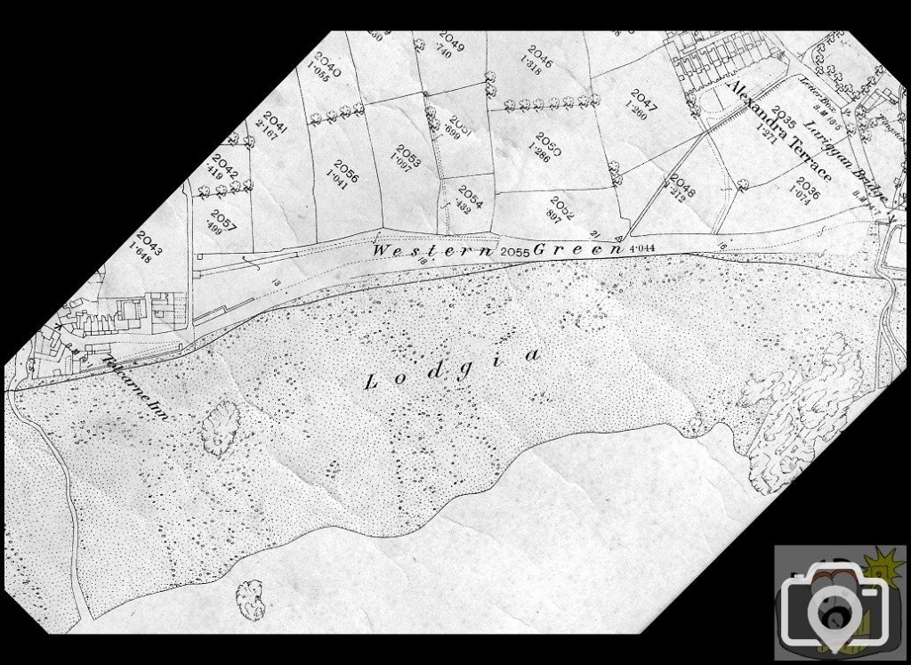
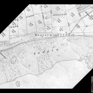
1875 OS Map.
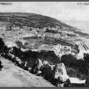
Before New Road.
This was the way along which, 20 years earlier before any Lariggan Bridge, the stone basin for the Fountain was brought, to be forded through the stream at Lariggan, not forgetting that at that time, the land was marshy.
This is the best that I can do without the map tearing, I have 'repaired' some sections now in this scan.
Western Green was literally a sand dune, on a clay bed.
The darker edge is the High Water Mark, then there is the line of the old wall.
Just below the 'W' of Western, is a slipway.
Above the 'n' of Green is a Trigonometrical point, which shows on the 1936 OS Map, but in the foreshore.